The Old Georgia Road
The Old Georgia Road existed during
the Revolutionary War era. It started as an old Indian
trading path. From its origins in western Georgia, it
entered what is today Spartanburg County by crossing the
Enoree River approximately on the route of present day SC
route 417. It traveled in a northeasterly direction
and crossed Blackstock road that also existed at that time.
It joined present day SC route 295 just west of where it
crosses SC 56. It continued on to cross Lawson's Fork
Creek at the site of Wofford's Iron Works. The Iron
Works was about ½ mile or so upstream from the present
Glendale bridge crossing. The road continued on to
intersect the present Clifton Glendale Road. The road
continued to the present site of Clifton, known then as
Hurricane Shoals. It crossed the Pacolet River above
Pattersons Springs and continued on to cross the Green
River Road just west of what is today Thicketty
Station. The Battle of Cowpens took place on the Green River
Road about 10 miles north of this crossing. The Road then
ran by what was to became Gaffneys Tavern in 1802, the
future site of the town of Gaffney. It continued on to cross
the Broad River at Cherokee Ford. The Georgia Road,
the Blackstock Road, the Green River Road and the few others
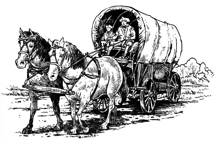
in the upstate were little more than rough muddy paths.
However, as bad as they were, they were important to the
military actions during the Revolutionary War and to the
growth of the area after the War.

This web site has been started as a public
service to share the story of Glendale. See
more information about Mary and her Glendale connection at Mary McKinney Teaster.